Minerals are key indicators for habitable environments on rocky planets and they can be detected at multiple scales, from detailed lab measurements, to rocks at outcrops and by remote detection by satellites. But how are the signatures related across these contrasting measurement scales? During Summer 2025 a field team from the University Twente and TU Delft mapped five different geothermal areas in Iceland to find out.
Minerals are key
The alteration of basaltic volcanic landforms by water and volcanic heat offers a unique glimpse into the early-Earth and early-life environments. And by extension there terrestrial locations helps us understand what mineral signatures we should look for on other planets such as Mars. The best place to go is Iceland, home to several unique field locations where these geothermal alteration processes can be studied in detail. Jitse Alsemgeest and Frank van Ruitenbeek from the Faculty ITC at University Twente also see a broader context for their work. “While the scientific results will be used principally for planetary research, they are equally relevant for geothermal energy and mineral resources exploration”, notes Van Ruitenbeek.
Multispectral instrumentation
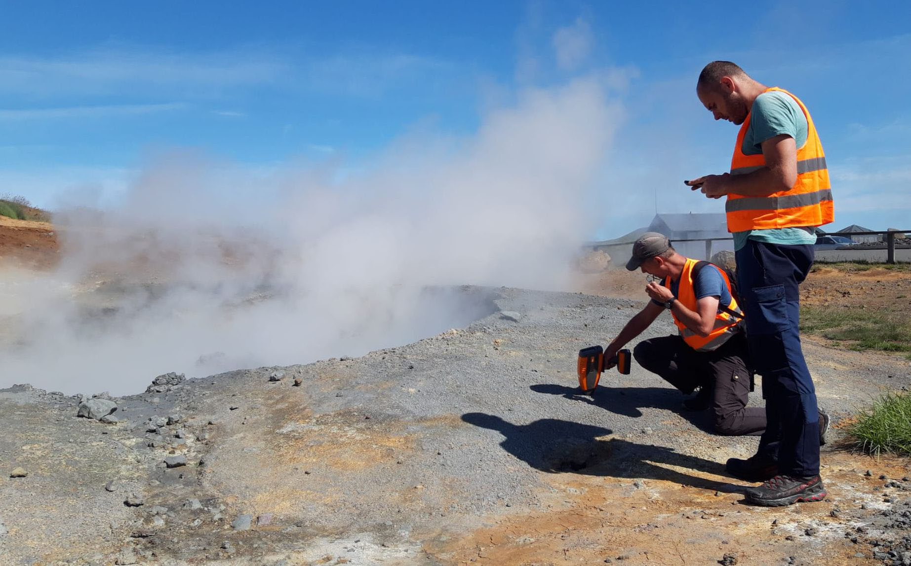
The field team used a unique hyperspectral camera to detect the minerals at various types of geothermal areas. As the HySpex instrument on top of its tripod pans across the area of interest, the VNIR and SWIR detectors build up a comprehensive image to map the composition of the outcrop. Post-processing after the campaign will bring out the telltale signatures of e.g. clays, sulphates and zeolites; minerals that can allow remote detection of such habitable areas on other planets. Scanning outcrops with this type of camera is not commonplace and it offers a unique and innovative measurement approach. Using a drone to take RGB-images from above, Sebastiaan de Vet from TU Delft surveyed the outcrops and generated 3D terrain models that will help place the detected minerals in context.
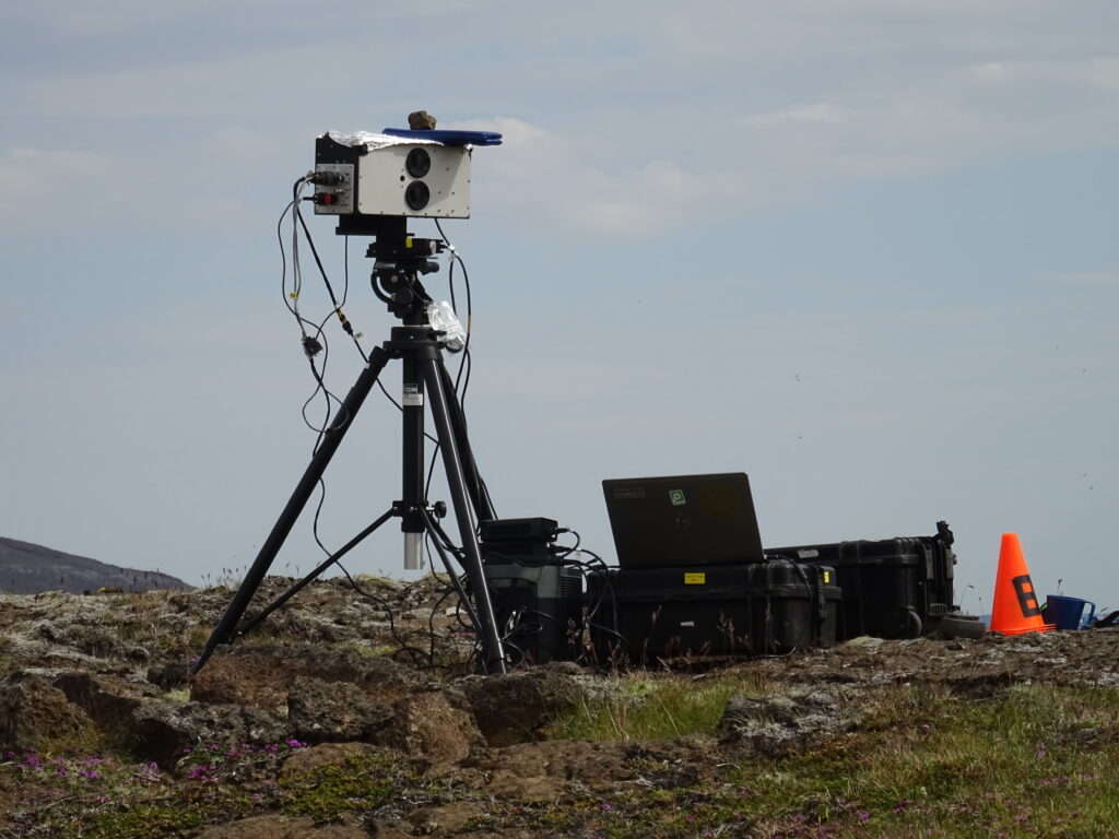
The HySpex sensor of the Faculty ITC at Univerity Twente in action at one of the field sites. The HySpex Mjolnir VS-620 has a combined spectral range of 400-2400 nm. Image credit: NPP/S.J. de Vet
Connecting measurement scales and researchers
An innovative aspect of Alsemgeest’s postdoctoral research project is the connection of various observation scales. For this to succeed, the team collected rock samples from the scanned outcrops for high-resolution scanning in the lab, they obtained additional spectra using an ASD field spectrometer, and will compare the orbital observations by EnMAP. Possible biomarkers in collected soil samples will be studied at the IBED institute at the University of Amsterdam in collaboration with Boris Jansen. Due to the exceptional weather, the team collected a wealth of data that will be accessible for several MSc thesis projects in the years to come. These collaborative MSc projects will be set up with colleagues of other universties in the Expertise Network, fostering new collaborations between research groups.
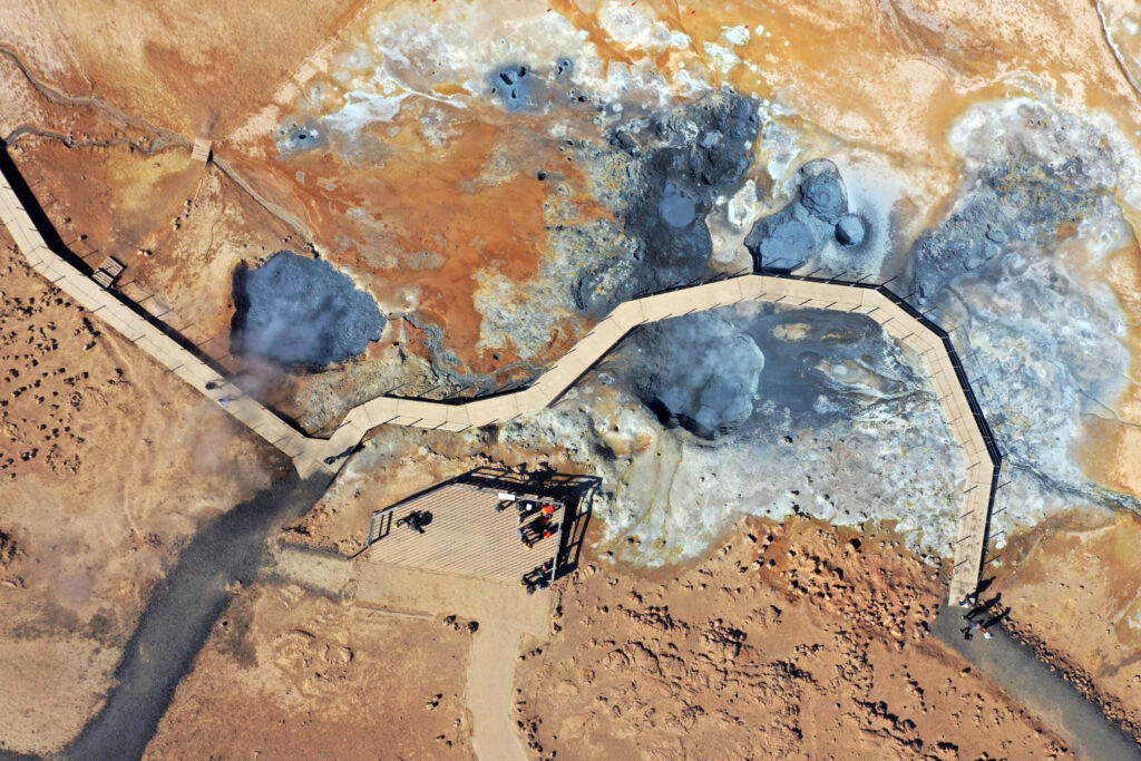
Nadir view of the RGB drone above the Namafjall outcrop in Iceland. The drone perspective, combined with rendered 3D terrain models using photogrammetry will be used to place the HySpex images in context. Image credit: NPP/S.J. de Vet
Rock collection for teaching
In parallel to the field campaign for the Expertise Network, Sebastiaan de Vet also carried out a field campaign to collect rock samples for the ‘Planetary Analogue Rock Collection’ (PARC) of TU Delft, which is being develloped as part of his NRO Comenius Teaching Fellowship. By combining the expertise and logistics of these two field campaigns the team managed to access more locations, increasing the overall science return for both projects. It is a nice illustration of how working together allows researchers to achieve more.